Australia Postcode 2844 - Warrumbungle Shire


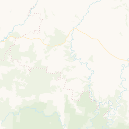


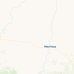


2844 Profile
| Postcode | 2844 |
| Postcode Name | Warrumbungle Shire |
| State | New South Wales |
| Local Government Area | Warrumbungle Shire |
| Timezone | (AEDT) |
| Adjacent Postcodes | 2329 2830 2831 2842 2843 2852 |
| Postcode | 2844 |
| Postcode Name | Warrumbungle Shire |
| State | New South Wales |
| Local Government Area | Warrumbungle Shire |
| Timezone | (AEDT) |
| Adjacent Postcodes | 2329 2830 2831 2842 2843 2852 |